See how Shropshire locations have changed in 15 years of Google Street View

placeholder image

It's been some 15 years since Google Street View cameras started appearing on roads in Shropshire.

Since then they've regularly returned to the area and helped document how scenes in the area have changed during that time.

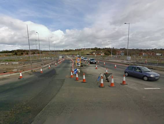
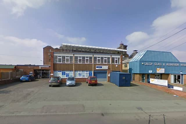
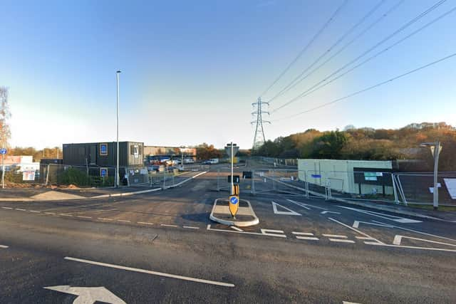
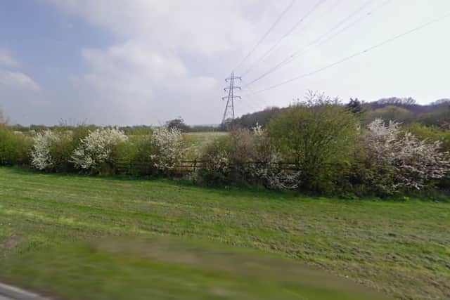
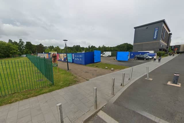
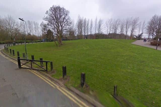
We've picked 10 locations around the county that have been transformed since first being photographed by the Street View cameras back in early 2009 and then again in later visits from the tech giant's camera cars.

Buildings have come, others have gone.

Are the transformations for the better? That's something everyone will have a view on.

Flaxmill Maltings, Shrewsbury
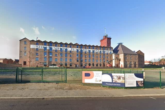
Shrewsbury's Flaxmill in December 2022. Photo: Googleplaceholder image
Shrewsbury's Flaxmill in December 2022. Photo: Google
Other buildings obscured the Flaxmill in 2009. Photo: Googleplaceholder image
Other buildings obscured the Flaxmill in 2009. Photo: Google

A49/A4117 roundabout, Ludlow

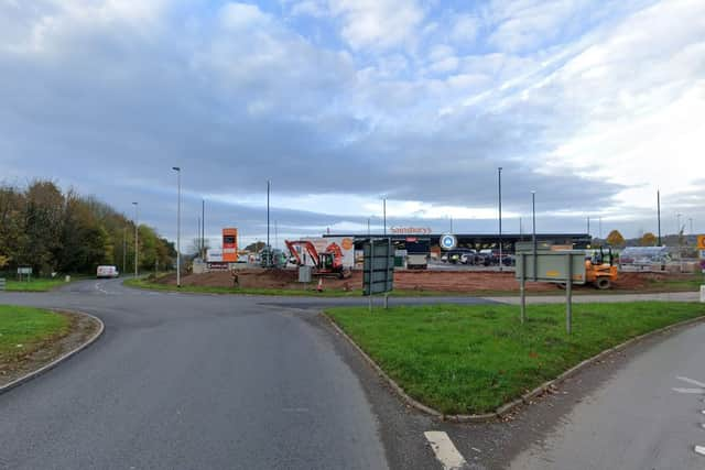
A49/A4117 roundabout in November 2021 when Sainsbury's was still being built. Photo: Googleplaceholder image
A49/A4117 roundabout in November 2021 when Sainsbury's was still being built. Photo: Google
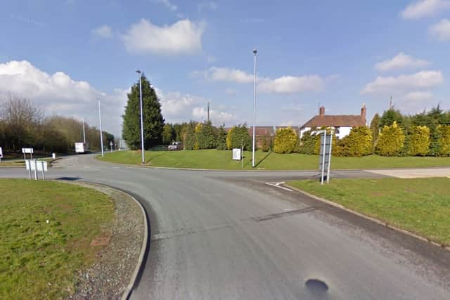
The A49/A4117 roundabout in March 2009. Photo: Googleplaceholder image
The A49/A4117 roundabout in March 2009. Photo: Google

Battlefield, Shrewsbury

Aldi being built at Battlefield in 2022. Photo: Googleplaceholder image
Aldi being built at Battlefield in 2022. Photo: Google
The empty Battlefield site in 2009. Photo: Googleplaceholder image
The empty Battlefield site in 2009. Photo: Google

Ice Rink, Telford town centre

The approach to Telford Ice Rink in June 2022. Photo: Googleplaceholder image
The approach to Telford Ice Rink in June 2022. Photo: Google
The approach to Telford Ice Rink in March 2009. The road on the left has completely gone now. Photo: Googleplaceholder image
The approach to Telford Ice Rink in March 2009. The road on the left has completely gone now. Photo: Google

Mile End, Oswestry

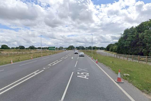
Looking at Oswestry's Mile End roundabout from the north on the A5. Photo: Googleplaceholder image
Looking at Oswestry's Mile End roundabout from the north on the A5. Photo: Google
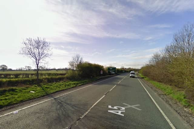
The approach to Mile End roundabout in March 2009. Photo: Googleplaceholder image
The approach to Mile End roundabout in March 2009. Photo: Google

Ironbridge Power Station

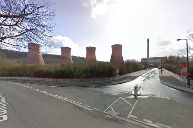
Ironbridge Power Station site in 2022. Photo: Googleplaceholder image
Ironbridge Power Station site in 2022. Photo: Google
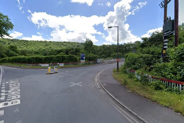
The Ironbridge Power Station cooling towers looming large in March 2009. Photo: Googleplaceholder image
The Ironbridge Power Station cooling towers looming large in March 2009. Photo: Google

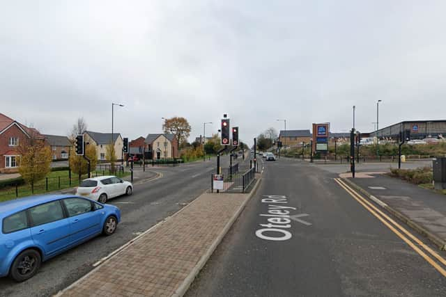
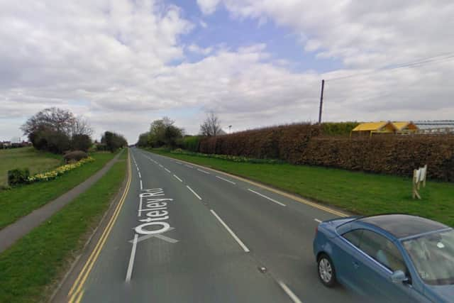
Oteley Road, Shrewsbury

The junction for Aldi and Percy Thrower's garden centre off Oteley Road, Shrewsbury, in 2022. Photo: Googleplaceholder image
The junction for Aldi and Percy Thrower's garden centre off Oteley Road, Shrewsbury, in 2022. Photo: Google
A clear Oteley Road in 2009. Photo: Googleplaceholder image
A clear Oteley Road in 2009. Photo: Google

Lawley

Market Drayton bypass

Bridgnorth Services

Comment Guidelines

Iconic Media encourages reader discussion on our stories. User feedback, insights and back-and-forth exchanges add a rich layer of context to reporting. Please review our Community Guidelines before commenting.

Local news you can trust
Follow us
© 2026 Iconic Media Group Ltd. All rights reserved.Cookie SettingsTerms and ConditionsPrivacy notice