
Route and road closure info as Shrewsbury's half marathon and metric half marathon return this Sunday



Hundreds of runners are set to take their marks as an annual road race returns to Shrewsbury this weekend.
Both Pareto FM's Shrewsbury Half Marathon (13.1 miles) and Shrewsbury Metric Half Marathon (13km or 8.1 miles) return this Sunday (September 28).
Both events start and finish at the The West Mid Showground. Entries for both events have now closed.
Last year the Shrewsbury Half and Metric Half Marathon attracted more than 1,500 runners - 400 more than in previous years.
A total of 92 different running clubs took part, with more than 150 volunteers helping along the route, providing water and keeping around 1,500 runners safe on the circular route.
This year, the starter's gun for the traditional half marathon event goes off at 8.30am, while the shorter metric half marathon begins at 8.55am.
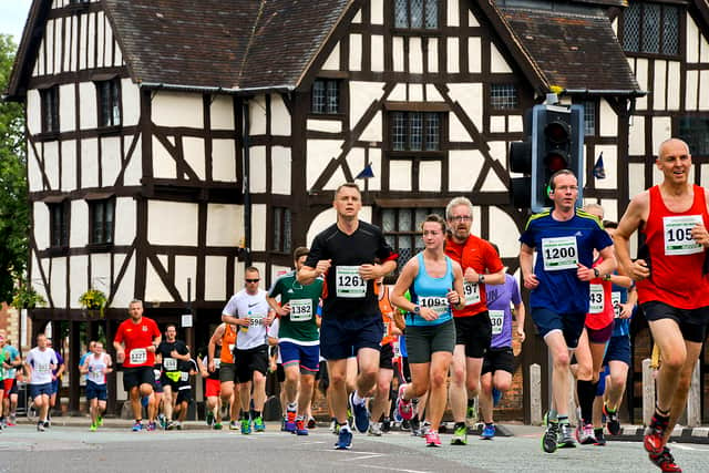
The half marathon follows a scenic route showcasing Shrewsbury’s highlights including the Welsh and English Bridges, Kingsland, Porthill, Coleham, The Quarry, Frankwell, and the picturesque town centre with its medieval buildings and unique street names.
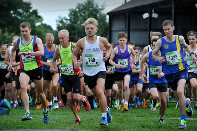
Meanwhile runners on the metric half marathon will follow a picturesque route that hugs the River Severn, crossing both the English & Welsh Bridges, and passing through The Quarry, Kingsland, and Frankwell.
There will be temporary road closures in place along the route for those streets affected by the races on Sunday, including Gravel Hill Lane, Berwick Road, the area around the English Bridge and Welsh Bridge, and parts of the town centre such as the High Street and The Quarry.
Roads will be closed for "a short duration while runners pass" with controlled vehicle movements when it is safe to do so. Marshals will be present along the route to provide assistance and directions.
Full list of affected roads:
- Gravel Hill Lane
- Berwick Road
- Coton Hill (Lane nearest the river)
- Chester Street (lane nearest the river)
- Smithfield Road (lane nearest the river)
- Mardol Quay
- Victoria Avenue
- Victoria Quay
- Welsh Bridge
- Frankwell
- Copthorne Road
- New Street
- Porthill Road
- Roman Road (inside lane next to Shrewsbury School)
- Kennedy Road
- Ashton Road
- Butler Rd
- Kingsland Road
- Longden Coleham
- Coleham Head
- English Bridge (two lanes closest to Coleham, leaving an exit for traffic down Wyle Cop and over the English Bridge towards Abbey Foregate)
- Wyle Cop (left lane westbound)
- High Street
- Mardol Head
- Shoplatch
- Bellstone
- Barker Street
- Bridge Street
- Lower Claremont Bank
- Claremont Bank
- St Chad's Terrace
- Murivance
- Town Walls
- Beeches Lane
- Williams Way
- St Julians Crescent
- St Julians Friars
- Victoria Avenue into The Quarry
Comment Guidelines
Iconic Media encourages reader discussion on our stories. User feedback, insights and back-and-forth exchanges add a rich layer of context to reporting. Please review our Community Guidelines before commenting.