
Watch: Parts of south Shropshire nature reserve under water amid rising river levels following snow melt
Areas in a south Shropshire nature reserve have flooded, after river levels rose across the county following last week's heavy snow.

The Environment Agency (EA) has issued several flood alerts around Shropshire following the snow brought by Storm Goretti.
As the snow melts river levels have been rising, prompting officials to issue flood alerts.
Six flood alerts - where flooding is possible - were in place around the county on Monday (January 12) morning, with the EA warning residents to take care and avoid walking, cycling or driving through flood water.
Among those areas is the Upper Teme near Ludlow.
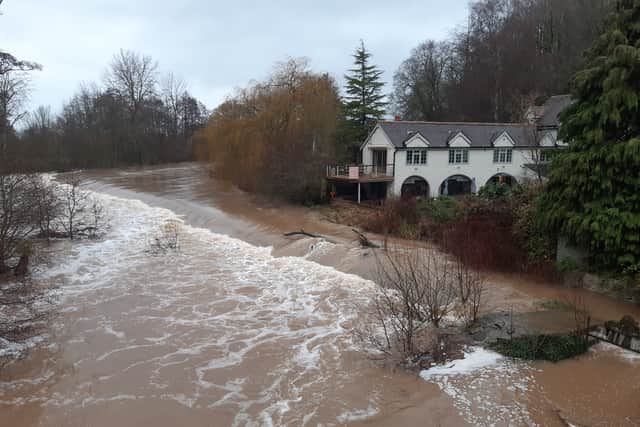

The EA warned flooding may affect low-lying land and roads adjacent the River Teme, River Onny and River Corve and their tributaries. Locations that may be affected include Bishop's Castle, Church Stretton, Knighton and Ludlow.
Among the areas hit by the rising water levels of the River Teme is Whitcliffe Common in Ludlow.
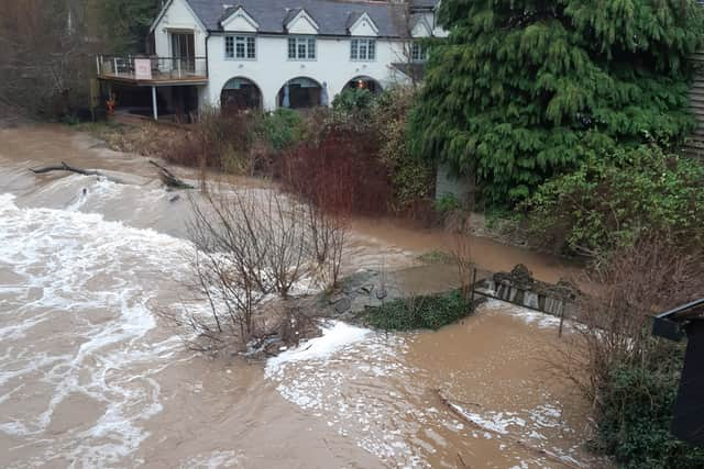
Images and video from Steve Leath show some of the nature reserve under water, with play areas, football pitches and other areas now flooded.
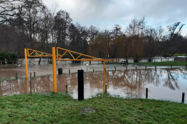
The Environment Agency said that the River Teme near Ludlow was at 3.04 metres on Monday at 3pm, which the agency said was “high” however, a spokesperson added the water level was now "falling". Its normal range is between 0.86 metres and 3.0 metres.
Flood alerts have also been issued for Ledwyche Brook and the River Rea, Rea Brook and Cound Brook, the River Worfe, the Severn Vyrnwy confluence and the Tern and Perry catchements.
Comment Guidelines
Iconic Media encourages reader discussion on our stories. User feedback, insights and back-and-forth exchanges add a rich layer of context to reporting. Please review our Community Guidelines before commenting.