
Some of you will remember that during the 1990s the Shropshire Star ran a series in partnership with Ordnance Survey called On The Map.
A central part of the project involved us sending up a helicopter with one of our photographers on board and capturing views from above of towns, villages, and features, which readers could then compare with a double-page reproduction of an OS map of the relevant area.
We’ve still got those pictures, and a lot can change on the ground in 30 years or so. Here are some of them, mostly from the western part of the county. Have fun poring over them and spotting the then-and-now differences.
Unless stated differently, the pictures date from the summer or autumn of 1994.
- You can enjoy this and more with our weekly FREE Nostalgia Newsletter - with scores of archive pictures and exclusive features on the history of Shropshire and Mid Wales - all sent to your inbox every week. Sign up here
- For anyone curious about where their own family story leads, MyHeritage DNA kits are currently £19.90, excluding shipping. The test can help explore genetic origins and identify DNA matches who may share branches of your family tree. This is an affiliate link. We may earn a small commission on items purchased, but that does not affect our editorial judgement.
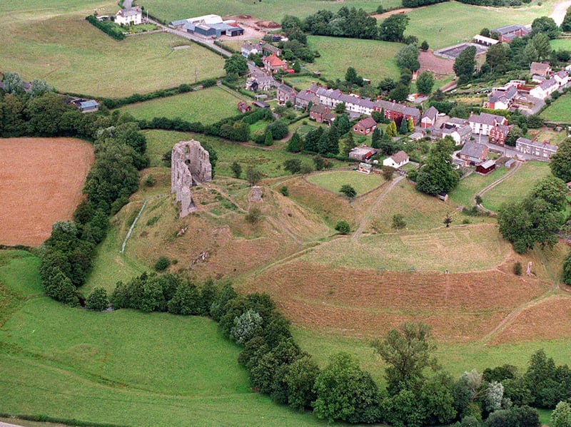
1. Clun Castle was all shook up
The ruins of Clun Castle. They were shaken in 1990 by Shropshire's worst earthquake for a century, and stones were seen to fall off. It happened on April 2, measuring 5.2 on the Richter scale and with its epicentre near Clun. The castle was founded shortly after the Norman Conquest and endured attacks from the Welsh, but was ruinous by 1539. Interesting fact: Clun was included in Montgomeryshire until 1537. | Shropshire Star
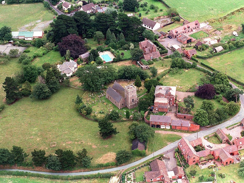
2. "Churton for pretty girls"
Church Pulverbatch from the air in August 1995. It is locally called "Churton" and the girls here are pretty according to an old doggerel which is, or if not, was, on the wall of the White Horse pub in neighbouring Pulverbatch: "Cothercot (sic) upon the hill, Wilderly down in the dale, Churton for pretty girls, and Pulverbatch for good ale." The church is St Edith's and in common with many village churches is on the site of an ancient predecessor. Its tower dates from 1773, but the rest of the structure dates from an 1853 rebuilding. The church, which is Grade II Star listed, is set in an elevated circular graveyard, which has led to suggestions that it could have ancient origins, and might even originally have been a hillfort. | Shropshire Star
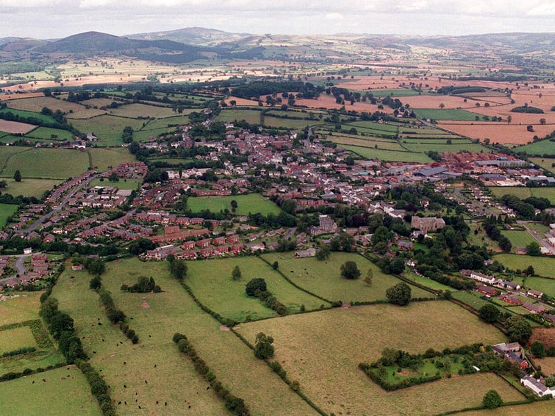
3. There's no bishop, and no castle either
Bishop's Castle no longer can boast a castle, but has a lot of history and heritage for such a small place. It even had its own railway, albeit not a very successful one. The main street is on a steeply rising slope up to the town hall, in the shadow of which is the House of Crutches, just one architectural gem. And, as you can see, it sits amid glorious countryside. | Shropshire Star
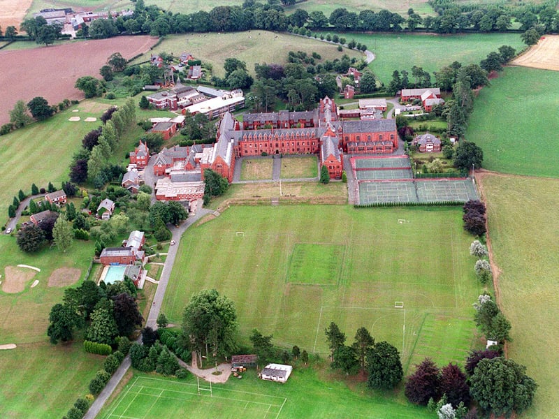
4. It rose again after a fire
The foundation stone of Ellesmere College, formerly known as St Oswald's School, was laid on St Oswald's Day, August 5, 1879, and the school was opened on the same date in 1884. It was hit by a disastrous fire in 1966 which destroyed the chapel and dining room. Famous former students include the England rugby legend Bill Beaumont, actor Peter Jones, and Press Association political editor Chris Moncrieff. The college has also starred in film, being the location for the movie Absolution starring Richard Burton. | Shropshire Star