
Concerns that holiday site plans could increase flooding for residents
Concerns have been raised that plans for holiday lodges at a site between two villages could cause flooding issues.
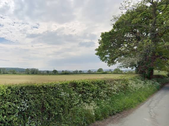

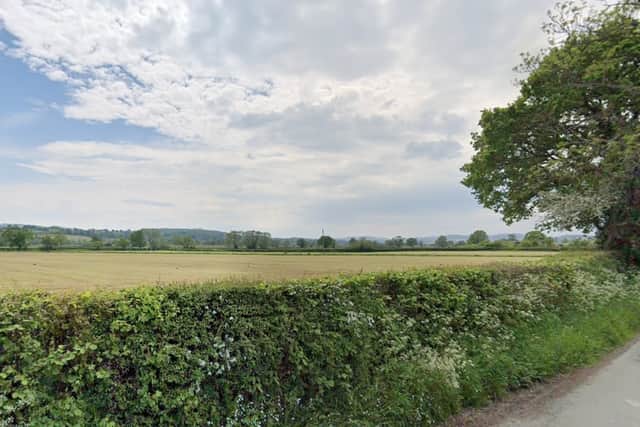
Earlier this year Mr and Mrs Lewis submitted plans to Powys County Council for eight holiday lodges, a reception and office building, a toilet and shower block as well as installing a septic tank and access track at a field to the east of Burgedin Hall.
The site is between the villages of Arddleen and Guilsfield to the north of Welshpool.
Each holiday lodge would measure 12 metres by six metres and have a veranda, they would all be provided with two parking spaces, making a total of 16 parking spaces.
The field is officially within the boundary of Guilsfield Community Council and lies roughly halfway between the villages – but the concerns have come from Arddleen.
When the application was discussed by Guilsfield Community Council at a recent meeting, councillors supported it.
However, at a meeting of Llandrinio and Arddleen Community Council councillors were concerned that the “development will have a significant impact on existing problems with flooding of the Guilsfield Brook which impacts our community".
Llandrinio and Arddleen Council also said that the environment body, Natural Resources Wales (NRW) has identified the site as “being at high risk to flooding from surface water and small watercourses".
Councillor Lucy Roberts is the Powys County Councillor for Llandrinio which includes Arddleen.
As the application is not within her ward Councillor Roberts does not have the right to “call in” the application in front of the Planning Committee for a decision to be made by councillors.
Councillor Roberts said: “I believe that if the development goes ahead it will impact on my residents.
“The major concern is that it might exacerbate existing flooding issues.”
Councillor Roberts explained that “recent” developments in the Guilsfield brook catchment have seen the flow of water during floods change which she believes puts more properties at risk of flooding.
Work is being done between Llandrinio and Arddleen community council and NRW to model this flow of water.
Councillor Roberts said: “Any changes to the level of the field which is proposed for development and the large area of hard standing will increase the speed of run-off and are likely to increase the risk of flooding to properties downstream.”
“The additional water will also increase the pressure on the canal which currently acts as a reservoir dam during peak flood.”
This is the Montgomery Canal which has a wharf in Arddleen, the fear is that eventually, the water would go on to flood the A483 trunk road which is to the east of the village.
Planning agent Gerallt Davies of Roger Parry and Partners explained the proposal in a planning statement.
Mr Davies said: “The applicant proposes the holiday development as a form of diversification and economic development, support the local tourism of the area, and indirectly support local businesses and sites where visitors will visit.
“The proposal fundamentally complies with the overarching national planning policies that relate to tourism developments, together with the tourism policies of the adopted Local Development Plan.”
The deadline for a decision was earlier this month.
Comment Guidelines
Iconic Media encourages reader discussion on our stories. User feedback, insights and back-and-forth exchanges add a rich layer of context to reporting. Please review our Community Guidelines before commenting.