
Dog's eye view from The Wrekin as cold snap hits
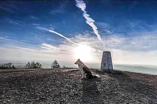

It was a cold crisp winter's day when Rocco the dog reached the top of one of Shropshire's best known landmarks –and now snow could be on the way to the county.
Wintry conditions including the "risk of snow" and more freezing temperatures could reach the Midlands, north east England and north of London by today thanks to a blast of cold air from the Arctic, the Met Office said.
This image was taken by Rocco's owner, David Smith, at the peak of The Wrekin and posted on Twitter.
Forecaster Mark Wilson said there was "definitely some risk of snow" for the region today. A yellow alert for snow had been issued for the region, meaning people should 'be aware'.
Mr Wilson said: "People should wrap up warm.
"There is a potential that central parts of the UK could see some snow at lower levels. We do not expect to see significant accumulation."
This may be no more than 0.8in (2cm). Some sleety wet snow could hit East Anglia, the East and West Midlands, Yorkshire and Humber with temperatures of around 2C-4C (35.6F-39.2F) generally and 6C-7C (42.8F-44.6F) in parts of Scotland.
Mr Wilson warned there could be freezing temperatures if it snows and "there is obviously a risk of ice as well".
But there is some respite from the chilly conditions on the horizon.
Mr Wilson said the cold, wet and windy conditions will become much milder by Saturday, reaching around 10C-12C (50F-53.6F).
The yellow alert for snow across the region runs from 8pm today to 10am tomorrow.