
Heavy rain and lightning expected for Shropshire as Met Office issues 25-hour thunderstorm warning for England and Wales
Rain and thunderstorms potentially leading to flooding and disruption will sweep over the wider West Midlands and part of Wales from early this morning.
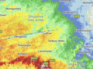
The thunderstorm warning covers much of England, as well as parts of Wales, and will remain in place from 4am Sunday until 5am on Monday.
Forecasters warn that the wet weather could lead to flooding, leaving businesses and homes at risk of damage.
It said: "There is a small chance that homes and businesses could be flooded quickly, with damage to some buildings from floodwater, lightning strikes, hail or strong winds.
"Where flooding or lightning strikes occur, there is a chance of delays and some cancellations to train and bus services. There is a small chance that some communities become cut off by flooded roads. There is a slight chance that power cuts could occur and other services to some homes and businesses could be lost."
Meanwhile a forecast has predicted the storms will pass by Tuesday with that day remaining "mostly dry" – but there was more wet weather to come afterwards.
A forecast said: "A band of heavy rain will move across the region through the morning clearing to sunny spells and scattered showers for the afternoon. Breezy.
"Monday, sunny spells and scattered showers. Mostly dry on Tuesday with sunny spells. Windier on Wednesday with showers, heavy at times. Mild throughout."